
Port Orford topographic map
Interactive map
Click on the map to display elevation.
About this map
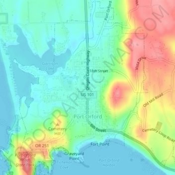
Name: Port Orford topographic map, elevation, terrain.
Location: Port Orford, Curry County, Oregon, 97465, United States (42.73690 -124.51315 42.76341 -124.47782)
Average elevation: 33 m
Minimum elevation: 0 m
Maximum elevation: 102 m
Other topographic maps
Click on a map to view its topography, its elevation and its terrain.