
Tân Dương topographic map
Interactive map
Click on the map to display elevation.
About this map
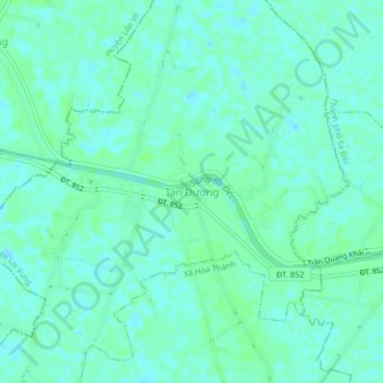
Name: Tân Dương topographic map, elevation, terrain.
Location: Tân Dương, Lai Vung district, Dong Thap Province, Vietnam (10.30915 105.68344 10.34915 105.72344)
Average elevation: 4 m
Minimum elevation: -1 m
Maximum elevation: 7 m