
West Warwick topographic map
Interactive map
Click on the map to display elevation.
About this map
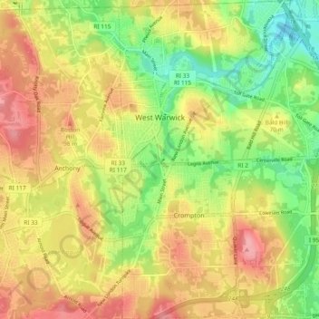
Name: West Warwick topographic map, elevation, terrain.
Location: West Warwick, Kent County, Rhode Island, United States (41.66208 -71.53429 41.73164 -71.48395)
Average elevation: 61 m
Minimum elevation: 2 m
Maximum elevation: 115 m