
Weld topographic map
Interactive map
Click on the map to display elevation.
About this map
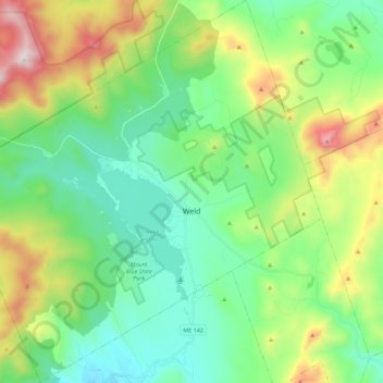
Name: Weld topographic map, elevation, terrain.
Location: Weld, Franklin County, Maine, 04285, United States (44.62697 -70.56384 44.78684 -70.34229)
Average elevation: 408 m
Minimum elevation: 134 m
Maximum elevation: 1,073 m