
Enger topographic map
Interactive map
Click on the map to display elevation.
About this map
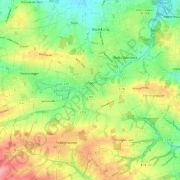
Name: Enger topographic map, elevation, terrain.
Location: Enger, Kreis Herford, North Rhine-Westphalia, 32130, Germany (52.10150 8.49807 52.17158 8.61706)
Average elevation: 107 m
Minimum elevation: 63 m
Maximum elevation: 162 m