
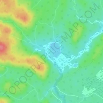
Lac Frime topographic map
Interactive map
Click on the map to display elevation.
About this map
Name: Lac Frime topographic map, elevation, terrain.
Average elevation: 246 m
Minimum elevation: 220 m
Maximum elevation: 296 m
Other topographic maps
Click on a map to view its topography, its elevation and its terrain.
Lac Frime
Canada > Quebec > Antoine-Labelle > Lac-Marguerite
Lac Frime, Lac-Marguerite, Antoine-Labelle, Laurentides, Quebec, Canada
Average elevation: 245 m