
Langesund topographic map
Interactive map
Click on the map to display elevation.
About this map
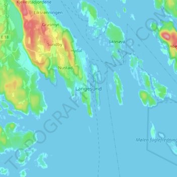
Name: Langesund topographic map, elevation, terrain.
Location: Langesund, Bamble, Vestfold og Telemark, 3970, Norway (58.96070 9.70844 59.04070 9.78844)
Average elevation: 14 m
Minimum elevation: -2 m
Maximum elevation: 130 m