
Sadong topographic map
Interactive map
Click on the map to display elevation.
About this map
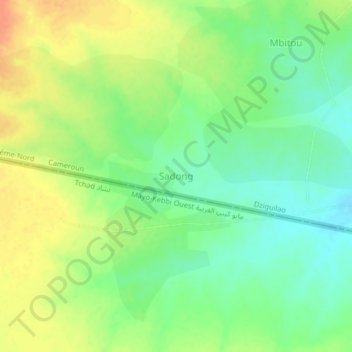
Name: Sadong topographic map, elevation, terrain.
Location: Sadong, Mayo-Kani, Far-North, Cameroon (9.94211 14.64992 9.98211 14.68992)
Average elevation: 392 m
Minimum elevation: 373 m
Maximum elevation: 413 m