
Thank you for supporting this site ❤️
Make a donation
Make a donation
Gear up for your next adventure:
As an Amazon Associate, this site earns from qualifying purchases at no extra cost to you.
Pantani topographic map
Click on the map to display elevation.
Gear up for your next adventure:
As an Amazon Associate, this site earns from qualifying purchases at no extra cost to you.
About this map
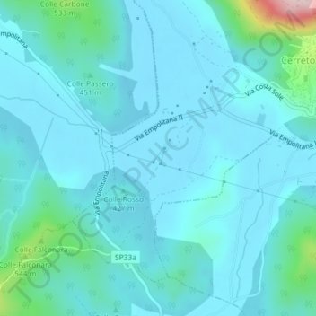
Name: Pantani topographic map, elevation, terrain.
Location: Pantani, Cerreto Laziale, Roma Capitale, Italy (41.92600 12.95483 41.94600 12.97483)
Average elevation: 428 m
Minimum elevation: 389 m
Maximum elevation: 715 m
Thank you for supporting this site ❤️
Make a donation
Make a donation
Gear up for your next adventure:
As an Amazon Associate, this site earns from qualifying purchases at no extra cost to you.