
Hoosingo topographic map
Interactive map
Click on the map to display elevation.
About this map
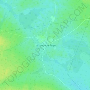
Name: Hoosingo topographic map, elevation, terrain.
Location: Hoosingo, Badhadhe District, Lower Juba, Somalia (-0.21382 41.23012 -0.13382 41.31012)
Average elevation: 52 m
Minimum elevation: 47 m
Maximum elevation: 59 m