
Hoston topographic map
Interactive map
Click on the map to display elevation.
About this map
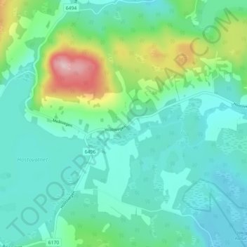
Name: Hoston topographic map, elevation, terrain.
Location: Hoston, Orkland, Trøndelag, Norway (63.17661 9.58077 63.21661 9.62077)
Average elevation: 233 m
Minimum elevation: 175 m
Maximum elevation: 440 m