
Hannan topographic map
Interactive map
Click on the map to display elevation.
About this map
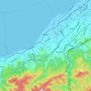
Name: Hannan topographic map, elevation, terrain.
Location: Hannan, Osaka Prefecture, Japan (34.30086 135.18630 34.39556 135.28255)
Average elevation: 79 m
Minimum elevation: -4 m
Maximum elevation: 466 m