
Bedias topographic map
Interactive map
Click on the map to display elevation.
About this map
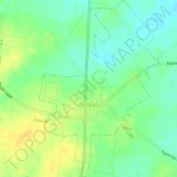
Name: Bedias topographic map, elevation, terrain.
Location: Bedias, Grimes County, Texas, United States (30.76420 -95.95861 30.79241 -95.93636)
Average elevation: 99 m
Minimum elevation: 87 m
Maximum elevation: 112 m