
Cotton Valley topographic map
Interactive map
Click on the map to display elevation.
About this map
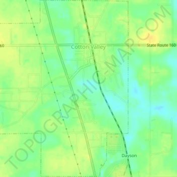
Name: Cotton Valley topographic map, elevation, terrain.
Location: Cotton Valley, Webster Parish, Louisiana, United States (32.79773 -93.43999 32.82702 -93.40978)
Average elevation: 68 m
Minimum elevation: 56 m
Maximum elevation: 78 m