
Gearhart topographic map
Interactive map
Click on the map to display elevation.
About this map
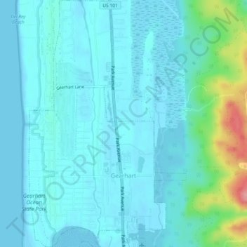
Name: Gearhart topographic map, elevation, terrain.
Location: Gearhart, Clatsop County, Oregon, United States (46.01503 -123.92888 46.04687 -123.89959)
Average elevation: 17 m
Minimum elevation: -1 m
Maximum elevation: 110 m