
Ahwahnee topographic map
Interactive map
Click on the map to display elevation.
About this map
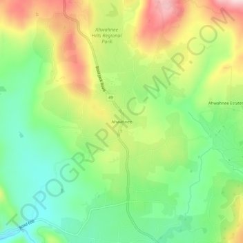
Name: Ahwahnee topographic map, elevation, terrain.
Location: Ahwahnee, Madera County, California, 93601, United States (37.34771 -119.74541 37.38771 -119.70541)
Average elevation: 691 m
Minimum elevation: 572 m
Maximum elevation: 860 m