
Holcomb topographic map
Interactive map
Click on the map to display elevation.
About this map
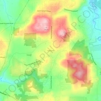
Name: Holcomb topographic map, elevation, terrain.
Location: Holcomb, Clackamas County, Oregon, 97015, United States (45.35068 -122.53787 45.39068 -122.49787)
Average elevation: 133 m
Minimum elevation: 36 m
Maximum elevation: 247 m