
Chilika Lake topographic map
Interactive map
Click on the map to display elevation.
About this map
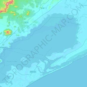
Name: Chilika Lake topographic map, elevation, terrain.
Location: Chilika Lake, Krushna Prasad, Puri, Odisha, India (19.46732 85.09342 19.90334 85.65742)
Average elevation: 45 m
Minimum elevation: -1 m
Maximum elevation: 934 m
Other topographic maps
Click on a map to view its topography, its elevation and its terrain.