
Västra Ingelstad topographic map
Interactive map
Click on the map to display elevation.
About this map
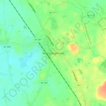
Name: Västra Ingelstad topographic map, elevation, terrain.
Location: Västra Ingelstad, Vellinge kommun, Skåne County, 23541, Sweden (55.47047 13.09236 55.51047 13.13236)
Average elevation: 37 m
Minimum elevation: 23 m
Maximum elevation: 63 m