
Gunung Prau topographic map
Interactive map
Click on the map to display elevation.
About this map
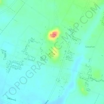
Name: Gunung Prau topographic map, elevation, terrain.
Location: Gunung Prau, Sawahan, Malang, Indonesia (-8.20922 112.66856 -8.20912 112.66866)
Average elevation: 353 m
Minimum elevation: 336 m
Maximum elevation: 404 m