
Chandniya topographic map
Interactive map
Click on the map to display elevation.
About this map
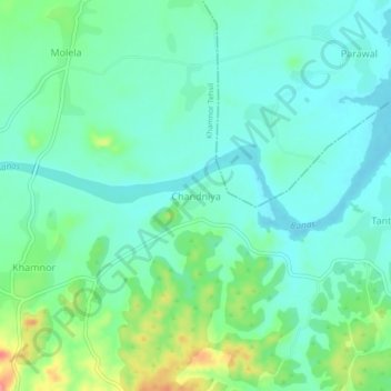
Name: Chandniya topographic map, elevation, terrain.
Location: Chandniya, Khamnor Tehsil, Rajsamand, Rajasthan, 313322, India (24.90725 73.72150 24.94725 73.76150)
Average elevation: 602 m
Minimum elevation: 579 m
Maximum elevation: 668 m