
Dengie topographic map
Interactive map
Click on the map to display elevation.
About this map
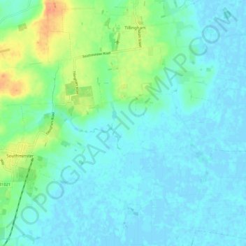
Name: Dengie topographic map, elevation, terrain.
Location: Dengie, Maldon, Essex, East of England, England, United Kingdom (51.65057 0.86633 51.69086 0.97441)
Average elevation: 9 m
Minimum elevation: -2 m
Maximum elevation: 39 m