
Athana topographic map
Interactive map
Click on the map to display elevation.
About this map
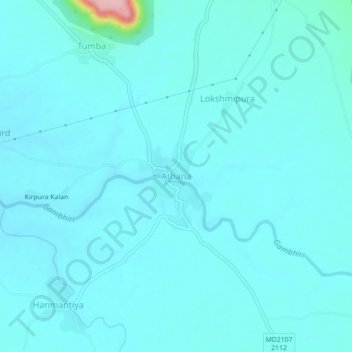
Name: Athana topographic map, elevation, terrain.
Location: Athana, Jawad Tehsil, Neemuch, Madhya Pradesh, 458330, India (24.62009 74.82254 24.66009 74.86254)
Average elevation: 451 m
Minimum elevation: 436 m
Maximum elevation: 597 m