
Thank you for supporting this site ❤️
Make a donation
Make a donation
Gear up for your next adventure:
As an Amazon Associate, this site earns from qualifying purchases at no extra cost to you.
Kasiyalekh topographic map
Click on the map to display elevation.
Thank you for supporting this site ❤️
Make a donation
Make a donation
Gear up for your next adventure:
As an Amazon Associate, this site earns from qualifying purchases at no extra cost to you.
About this map
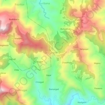
Name: Kasiyalekh topographic map, elevation, terrain.
Location: Kasiyalekh, Dhari, Nainital, 263138, India (29.40825 79.61303 29.44825 79.65303)
Average elevation: 1,991 m
Minimum elevation: 1,695 m
Maximum elevation: 2,327 m
Thank you for supporting this site ❤️
Make a donation
Make a donation
Gear up for your next adventure:
As an Amazon Associate, this site earns from qualifying purchases at no extra cost to you.