
Perumanoor topographic map
Interactive map
Click on the map to display elevation.
About this map
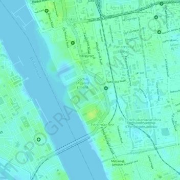
Name: Perumanoor topographic map, elevation, terrain.
Location: Perumanoor, Kanayannur, Ernakulam district, Kerala, India (9.94377 76.28271 9.96515 76.29686)
Average elevation: 5 m
Minimum elevation: -3 m
Maximum elevation: 15 m