
Banayus topographic map
Interactive map
Click on the map to display elevation.
About this map
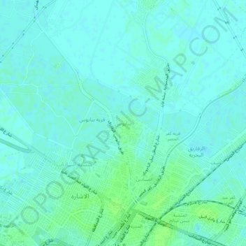
Name: Banayus topographic map, elevation, terrain.
Location: Banayus, Eastern, 44819, Egypt (30.58528 31.48500 30.62528 31.52500)
Average elevation: 10 m
Minimum elevation: 7 m
Maximum elevation: 15 m
Other topographic maps
Click on a map to view its topography, its elevation and its terrain.
Manshiyat al Sawamah
Manshiyat al Sawamah, Eastern, 44768, Egypt
Average elevation: 6 m
Abu Hammad al Mahattah
Abu Hammad al Mahattah, Eastern, 44661, Egypt
Average elevation: 9 m