
malankara dam topographic map
Interactive map
Click on the map to display elevation.
About this map
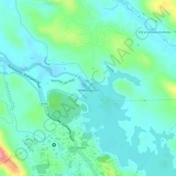
Name: malankara dam topographic map, elevation, terrain.
Location: malankara dam, Thodupuzha, Idukki, Kerala, India (9.85251 76.74449 9.85317 76.74507)
Average elevation: 59 m
Minimum elevation: 28 m
Maximum elevation: 155 m
Other topographic maps
Click on a map to view its topography, its elevation and its terrain.