
Katoma topographic map
Interactive map
Click on the map to display elevation.
About this map
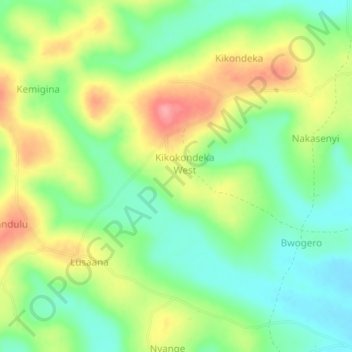
Name: Katoma topographic map, elevation, terrain.
Location: Katoma, Mawogola, Sembabule, Central Region, Uganda (-0.30333 31.43000 -0.26333 31.47000)
Average elevation: 1,254 m
Minimum elevation: 1,212 m
Maximum elevation: 1,313 m