
Baldwin topographic map
Interactive map
Click on the map to display elevation.
About this map
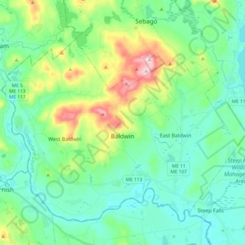
Name: Baldwin topographic map, elevation, terrain.
Location: Baldwin, Cumberland County, Maine, United States (43.78802 -70.80161 43.89018 -70.62679)
Average elevation: 150 m
Minimum elevation: 66 m
Maximum elevation: 419 m