
Forest Park topographic map
Interactive map
Click on the map to display elevation.
About this map
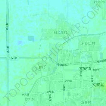
Name: Forest Park topographic map, elevation, terrain.
Location: Forest Park, Wen'an County, Langfang City, Hebei, China (38.87100 116.44070 38.87591 116.44483)
Average elevation: 7 m
Minimum elevation: 3 m
Maximum elevation: 11 m
Other topographic maps
Click on a map to view its topography, its elevation and its terrain.
Gu'an County
China > Hebei > Langfang City
Gu'an County, Langfang City, Hebei, China
Average elevation: 20 m
Shiqiaocun
China > Hebei > Langfang City > Shiqiaocun
Shiqiaocun, Langfang City, Hebei, China
Average elevation: 18 m