
Escambia Farms topographic map
Interactive map
Click on the map to display elevation.
About this map
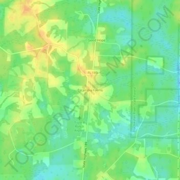
Name: Escambia Farms topographic map, elevation, terrain.
Location: Escambia Farms, Okaloosa County, Florida, United States (30.93796 -86.65301 30.97796 -86.61301)
Average elevation: 57 m
Minimum elevation: 43 m
Maximum elevation: 74 m