
San Francisco (San Pancho) topographic map
Interactive map
Click on the map to display elevation.
About this map
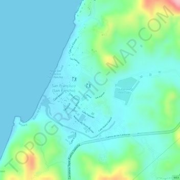
Name: San Francisco (San Pancho) topographic map, elevation, terrain.
Average elevation: 28 m
Minimum elevation: -1 m
Maximum elevation: 145 m