
Aska topographic map
Interactive map
Click on the map to display elevation.
About this map
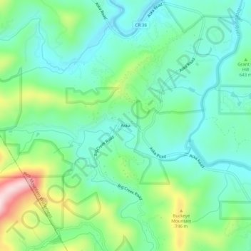
Name: Aska topographic map, elevation, terrain.
Location: Aska, Fannin County, Georgia, United States (34.74786 -84.28214 34.78786 -84.24214)
Average elevation: 629 m
Minimum elevation: 534 m
Maximum elevation: 873 m