
Townsbury topographic map
Interactive map
Click on the map to display elevation.
About this map
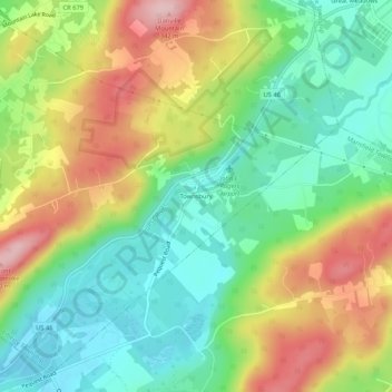
Name: Townsbury topographic map, elevation, terrain.
Location: Townsbury, Warren County, New Jersey, 07838, United States (40.83093 -74.95350 40.87093 -74.91350)
Average elevation: 217 m
Minimum elevation: 129 m
Maximum elevation: 349 m