
Ilondo topographic map
Interactive map
Click on the map to display elevation.
About this map
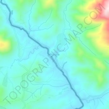
Name: Ilondo topographic map, elevation, terrain.
Location: Ilondo, Ileje, Mbeya, Southern Highlands Zone, Tanzania (-9.57923 33.39509 -9.53923 33.43509)
Average elevation: 1,230 m
Minimum elevation: 1,130 m
Maximum elevation: 1,647 m