
Slum topographic map
Interactive map
Click on the map to display elevation.
About this map
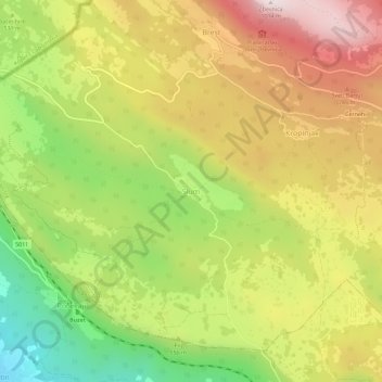
Name: Slum topographic map, elevation, terrain.
Location: Slum, Općina Lanišće, Istria County, 52420, Croatia (45.41888 13.98202 45.45888 14.02202)
Average elevation: 559 m
Minimum elevation: 111 m
Maximum elevation: 1,001 m