
Capel Hendre topographic map
Interactive map
Click on the map to display elevation.
About this map
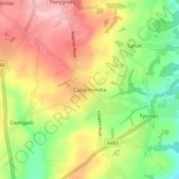
Name: Capel Hendre topographic map, elevation, terrain.
Location: Capel Hendre, Carmarthenshire, Wales, SA18 3SG, United Kingdom (51.76378 -4.06295 51.80378 -4.02295)
Average elevation: 113 m
Minimum elevation: 35 m
Maximum elevation: 191 m