
Caswell topographic map
Interactive map
Click on the map to display elevation.
About this map
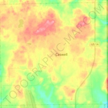
Name: Caswell topographic map, elevation, terrain.
Location: Caswell, Aroostook County, Maine, United States (46.95790 -67.93115 47.05009 -67.78966)
Average elevation: 235 m
Minimum elevation: 190 m
Maximum elevation: 278 m