
Inda küla topographic map
Interactive map
Click on the map to display elevation.
About this map
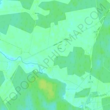
Name: Inda küla topographic map, elevation, terrain.
Location: Inda küla, Märjamaa vald, Rapla maakond, 78216, Estonia (58.77284 24.54878 58.79085 24.60418)
Average elevation: 29 m
Minimum elevation: 23 m
Maximum elevation: 37 m