
Grandfather topographic map
Interactive map
Click on the map to display elevation.
About this map
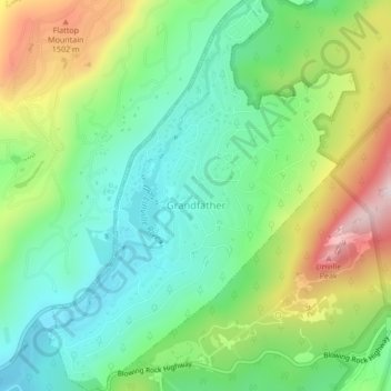
Name: Grandfather topographic map, elevation, terrain.
Location: Grandfather, Avery County, North Carolina, United States (36.08262 -81.86352 36.11694 -81.83014)
Average elevation: 1,303 m
Minimum elevation: 1,124 m
Maximum elevation: 1,637 m