
Oneata Island topographic map
Interactive map
Click on the map to display elevation.
About this map
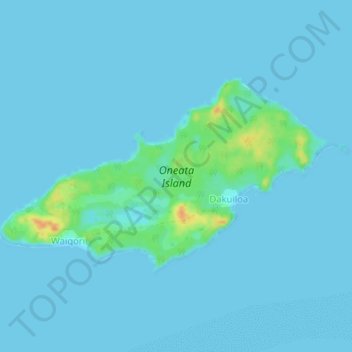
Name: Oneata Island topographic map, elevation, terrain.
Location: Oneata Island, Dakuiloa, Eastern, Fiji (-18.44931 -178.49584 -18.42700 -178.45408)
Average elevation: 3 m
Minimum elevation: 0 m
Maximum elevation: 36 m