
Maughold topographic map
Interactive map
Click on the map to display elevation.
About this map
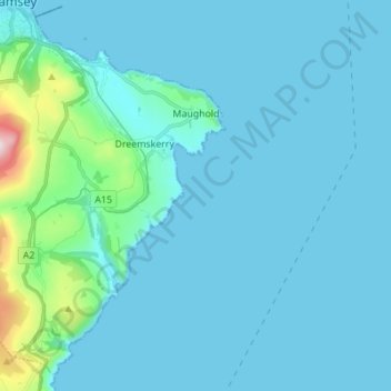
Name: Maughold topographic map, elevation, terrain.
Location: Maughold, Garff, Isle of Man (54.24484 -4.44551 54.31842 -4.30769)
Average elevation: 40 m
Minimum elevation: 0 m
Maximum elevation: 461 m