
Trenton topographic map
Interactive map
Click on the map to display elevation.
About this map
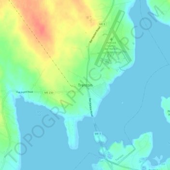
Name: Trenton topographic map, elevation, terrain.
Location: Trenton, Hancock County, Maine, 04705, USA (44.41917 -68.39067 44.45917 -68.35067)
Average elevation: 13 m
Minimum elevation: -2 m
Maximum elevation: 50 m