
Sheffield topographic map
Interactive map
Click on the map to display elevation.
About this map
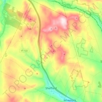
Name: Sheffield topographic map, elevation, terrain.
Location: Sheffield, Caledonia County, Vermont, 05866, USA (44.58579 -72.20249 44.70450 -72.06638)
Average elevation: 471 m
Minimum elevation: 229 m
Maximum elevation: 769 m