
Castletown topographic map
Interactive map
Click on the map to display elevation.
About this map
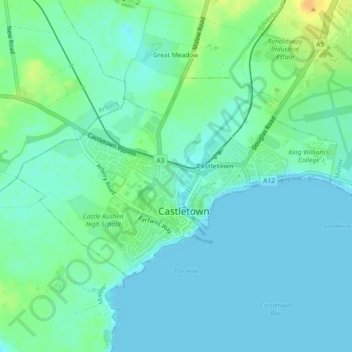
Name: Castletown topographic map, elevation, terrain.
Location: Castletown, Rushen, Isle of Man (54.06962 -4.67459 54.08475 -4.63278)
Average elevation: 8 m
Minimum elevation: 0 m
Maximum elevation: 31 m