
Pueblo Libre topographic map
Interactive map
Click on the map to display elevation.
About this map
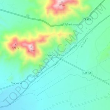
Name: Pueblo Libre topographic map, elevation, terrain.
Location: Pueblo Libre, Provincia de Huaral, Lima, Perú (-11.49517 -77.16327 -11.45517 -77.12327)
Average elevation: 336 m
Minimum elevation: 237 m
Maximum elevation: 629 m