
Fleet topographic map
Interactive map
Click on the map to display elevation.
About this map
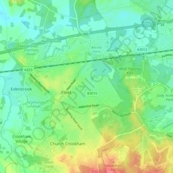
Name: Fleet topographic map, elevation, terrain.
Location: Fleet, Hart, Hampshire, England, United Kingdom (51.26322 -0.87594 51.30238 -0.79030)
Average elevation: 76 m
Minimum elevation: 56 m
Maximum elevation: 118 m
Hampshire trails, hiking, mountain biking, running and outdoor activities
Other topographic maps
Click on a map to view its topography, its elevation and its terrain.