
Borlänge topographic map
Interactive map
Click on the map to display elevation.
About this map
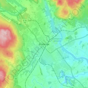
Name: Borlänge topographic map, elevation, terrain.
Location: Borlänge, Borlänge kommun, Dalarna County, 784 31, Sweden (60.44564 15.38346 60.52564 15.46346)
Average elevation: 160 m
Minimum elevation: 104 m
Maximum elevation: 323 m
Other topographic maps
Click on a map to view its topography, its elevation and its terrain.