
Gayton topographic map
Interactive map
Click on the map to display elevation.
About this map
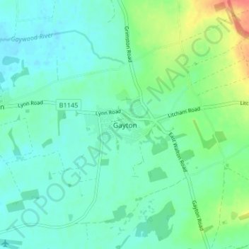
Name: Gayton topographic map, elevation, terrain.
Location: Gayton, Norfolk, East of England, England, PE32, United Kingdom (52.72270 0.53608 52.76270 0.57608)
Average elevation: 24 m
Minimum elevation: 9 m
Maximum elevation: 71 m
England trails, hiking, mountain biking, running and outdoor activities