
Olsztyn topographic map
Interactive map
Click on the map to display elevation.
About this map
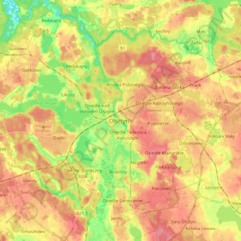
Name: Olsztyn topographic map, elevation, terrain.
Location: Olsztyn, Olsztyn County, Warmian-Masurian Voivodeship, Poland (53.72421 20.36649 53.82902 20.56665)
Average elevation: 123 m
Minimum elevation: 78 m
Maximum elevation: 157 m